LOUISVILLE, Ky. (AP) — Much of the eastern United States was preparing for yet another round of severe and wet weather on Saturday, while snowstorms were anticipated in the Northeast, and heavy winds raised the risk of tornadoes across the Mississippi Valley. The National Weather Service (NWS) issued flood warnings for states including Kentucky, Tennessee, West Virginia, and Arkansas, urging residents to avoid road travel as parts of western Kentucky could receive up to 8 inches of rainfall.
In response to the impending weather threats, Kentucky Governor Andy Beshear proactively declared a state of emergency, foreseeing flash flooding impacting the region on Saturday and continuing into Sunday. Beshear noted via social media that officials aim to deploy resources to areas known for flooding in the past.
The weather service highlighted the potential for historic flash flooding events in the Mississippi, Tennessee, and Ohio Valleys. In Tennessee, flash flood warnings were issued for several counties north of Nashville, valid until Saturday evening. The NWS referred to the approaching rain as a "major, potentially historic, flash flood event."
Simultaneously, heavy snowfall was expected to cover much of New England, transitioning to sleet that could complicate travel significantly, as reported by the NWS. Northern New York was forecasted to face continuous mixed precipitation over the weekend, with expected accumulations of snow, sleet, and ice ranging between six to thirteen inches, alongside wind gusts that may reach up to 45 mph (72 kph) by late Saturday and into Sunday. The weather service warned that power outages and tree damage could result from the ice and potent winds, with travel conditions likely to become very difficult to nearly impossible.
Meteorologists cautioned that the U.S. was about to experience its tenth and coldest polar vortex stretching event of the season. The cold air from the Arctic, which typically remains confined to the North Pole, is being pushed into central U.S. states and parts of Europe. This cold outbreak was predicted to affect northern Rockies and northern Plains starting Saturday and to persist throughout the following week.
In Denver, local temperatures are anticipated to plunge as low as 14 degrees Fahrenheit (minus 10 degrees Celsius) over the weekend, prompting the city authorities to extend cold weather shelters for the homeless. The Denver Coliseum is being opened on Saturday to provide additional shelter space.
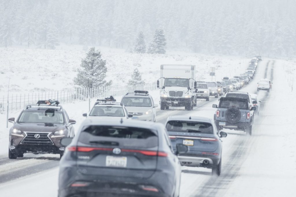
Travelers to the Rocky Mountains, particularly those looking forward to the long Presidents' Day weekend, were forewarned about a segment of Interstate 70 being closed due to snow, as officials anticipate hazardous conditions on mountain roads throughout the weekend.
Meanwhile, southern California was recovering from the strongest storm of the year, but concerns remained regarding mudslides on areas previously affected by wildfires. Even after the rain abated, the risk for rock and mudslides persists in these vulnerable zones, where vegetation that usually stabilizes soil has been compromised. In Sierra Madre, California, heavy flows of water, debris, and boulders rushed down the mountains on Thursday night, trapping at least one car in mud and damaging multiple home garages. Cleanup efforts were underway as bulldozers worked to restore the city's roads.
Further north, in the Sierra Nevada mountains, a storm had deposited an impressive 6 feet (1.8 meters) of snow in just 36 hours. During avalanche mitigation work on Friday morning at Mammoth Mountain, two ski patrol staff members were caught in an avalanche. One was rescued and reported responsive, while the other was taken to a hospital with serious injuries.